DJI Zenmuse L3 – LiDAR system – Request A Quotation

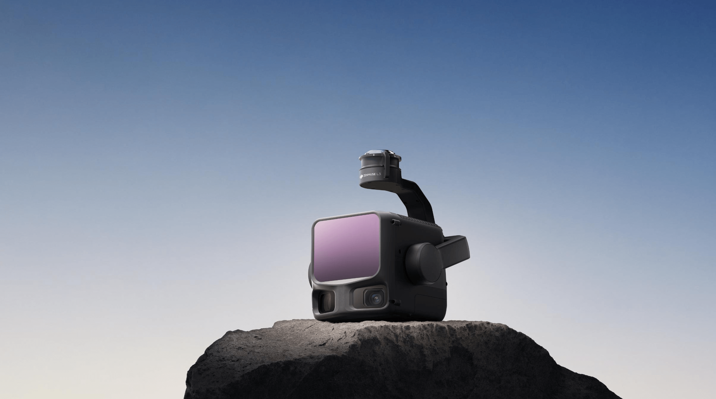
DJI’s next-generation high-accuracy aerial LiDAR system features a long-range LiDAR capable of reaching up to 950 m [1] even on objects with just 10% reflectivity. Dual 100MP RGB mapping cameras and a high-precision POS system accelerate geospatial data acquisition, enabling daily coverage of up to 100 km²
Category: ,

Description

DJI’s next-generation high-accuracy aerial LiDAR system features a long-range LiDAR capable of reaching up to 950 m [1] even on objects with just 10% reflectivity. Dual 100MP RGB mapping cameras and a high-precision POS system accelerate geospatial data acquisition, enabling daily coverage of up to 100 km²
Reviews

There are no reviews yet.

Be the first to review “DJI Zenmuse L3 – LiDAR system – Request A Quotation”

Your email address will not be published. Required fields are marked *